
Oahu is Hawaii’s 3rd largest island with a total land area of 596.7 square miles placing the island as the 20th largest island located within the United States. The island is the most populated island located in the state of Hawaii.
Nicknamed “The Gathering Place” the island is the home of approximately 953,207 people. It is rumored that Oahu was named after the son of a Polynesian navigator who discovered the Hawaiian Island.
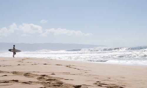
The entire island is located within the County and City of Honolulu. Many of the residents of Oahu call themselves locals of the area regardless of their ancestry. Oahu is well known for its features such as Pearl Harbor, Waikiki, North Shore, Diamond Head, Kane’ohe Bay, Hanauma and Kailua Bay. The diamond shaped island is divided by mountain ranges and surrounded by ocean.
The YouTube video link featured below features many attractions found on the Oahu Beach during a cruise vacation to the island. The Buddhist Temple, fish pond, Koko Kai Mini beach park, mountain views and Leonards Bakery are some of the local attractions featured in the footage.
Oahu Facts:
- It was documented that the longest rain shower occurred in Oahu. It reportedly rained for 247 days straight from August 27, 1993 – April 30, 1994.
- The most popular attraction in Oahu is the USS Arizona Memorial at Pearl Harbor.
- In the year 2000 it was reported that 4,719,246 individuals visited the Hawaiian Island.
- Oahu has the most golf courses in a state containing 36 courses.
- Oahu is the home of the largest Zoo in the State which is 42-acres. The Honolulu Zoo contains over three hundred different species of animals. The zoo is the only one in the United States to be established by grants. Annually over 601,500 people visit the zoo which is supported by the HZS (Honolulu Zoo Society).
Lanikai Beach
Located on the East side of Oahu in the neighborhood of Kailua, Lanikai Beach has received the title of one of the best beaches in the world numerous times. The 0.5 mile public beach is adjacent to an upper-class residential area. The Lanikai Beach is not equipped with a public parking lot, lifeguards, restrooms and showers due to the land not being state owned property. The beach is typically empty during weekdays however during the tourist season and on the weekends the beach can become very congested.
The video link below features water views of the Lanikai Beach. On nice days it is not unusual for renowned models and photographers to conduct a photo-shoot.
View Lanikai Beach webcam.
Monalua/Kahuapaani
Monalua located in Honolulu, Hawaii is classified as a stream, valley as well as residential neighborhood. Moanalua is part of the 32nd District of the Hawaii House of Representatives and the 15th District of the Hawaii Senate. Consisting of entirely island Hawaii is the only U.S state with this characteristic. The Moanalua Freeway is also known as the H-201 is a 4 mile loop route that connects to exit 19 and 13 on Interstate H-1.
The link below features several lanes of traffic traveling in both directions of the busy highway. Previously the roadway designated as Route 78 was thought to be the only freeway located in Hawaii not to have an Interstate designation.
View Monalua/Kahuapaani webcam.
Kamehameha Highway
The Kamehameha Highway is a main highway which serves rural and suburban areas of Hawaii. The Kamehameha Highway during the Japanese invasion was used by the US Army.
The highway was used by the military to transport military personnel whom fought to defend the northern area of Oahu where the invasion was impacted the most. Wahiawa and Haleiwa civilians were also evacuated via the Kamehameha Highway. Hawaii shortly after fell under the rule of the Japanese and the Kamehameha Highway repairs were handled by Americans who were prisoners of the war.
The video link features the Kamehameha Highway & Arizona.
View Kamehameha Highway webcam.